About Col des Aravis
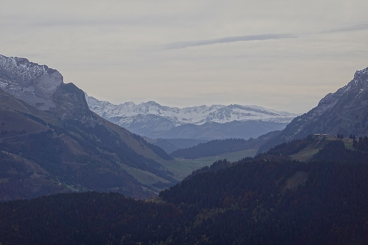
The Col des Aravis is a road pass at 1,486 m that separates the commune of La Clusaz, in Haute-Savoie, from La Giettaz, in Savoie. It is the lowest point through the Aravis range, a chain extending 25 km from north to south, from Bonneville to Ugine, culminating at Pointe Percée (2,752 m).
The pass is crossed by the D909 departmental road, opened in 1902, today a stage of the Route des Grandes Alpes® linking Thonon-les-Bains to Nice. On site: the Sainte-Anne chapel, restaurants, souvenir shops, alpine farms selling Reblochon cheese directly, parking areas, and hiking trailheads. On a clear day, open view of the Mont-Blanc massif.
What you can do there
Drive or cycle up to the pass
Climb from Thônes via the Fier valley to the north-west (18.9 km on the D909) or from Flumet via the Val d'Arly to the south-east (11.5 km). The pass has been crossed many times by the Tour de France.
Visit the Sainte-Anne chapel
Small chapel at the top of the pass, on the La Clusaz side but maintained by both parishes. Façade bearing the inscription "Sainte Anne protégez les voyageurs".
Hike to the Croix de Fer and chalet du Curé
Trailhead at the pass on the La Giettaz side, balcony route through alpine meadows with an orientation table and a panorama over the Mont-Blanc chain.
Panoramic MTB loop of the Col des Aravis
14 km loop, 472 m of ascent, around 2 h on a regular MTB, 1 h 10 on an e-MTB, starting from La Clusaz. Marked route n°49.
See the Porte des Aravis
Striking opening in the crest line, north of the pass, on the La Giettaz commune. Associated with the legend of Gargantua.
Buy Reblochon at the farm
Several alpine farms sell directly at the pass in season. Reblochon is the historic cheese of the Aravis.
Watch the alpine meadows
In summer, dairy cows graze in the pastures around the pass. Chamois can sometimes be spotted below the cliffs.
Practical info
How to get there
By car
From La Clusaz, take the D909 towards Flumet / La Giettaz, 7 km to the pass. From Thônes to the north-west: 18.9 km on the D909 (Fier valley). From Flumet to the south-east: 11.5 km on the D909 (Val d'Arly). The road is sometimes closed in winter during heavy snowfall.
By bike
Classic climb of alpine cycling. From Flumet: 11.7 km, average gradient ~4.9%. From Thônes: 18.9 km, average gradient ~4.6%. The pass is a stage of the Route des Grandes Alpes® (Thonon-les-Bains → Nice).
When to visit
Season by season:
- May – June: green alpine meadows, cows returning to the high pastures, few visitors at the pass.
- July – August: peak season, hiking, mountain biking, cycling events. Heavy attendance at the pass.
- September – October: autumn light, herds still on the alpine pastures until the désalpe.
- Winter: the pass is accessible by road most of the time, occasionally closed after heavy snowfall. More remote atmosphere.
The pass is regularly crossed by the Tour de France and by the Time Megève Mont-Blanc cyclosportive.
Where to eat, drink, stay nearby
Photos of Col des Aravis


Share your photos: tag #loisirs74 on Instagram or email them to photos@loisirs74.fr. We pick the best and credit them to you.
Frequently asked questions
Where is the Col des Aravis?
Is access to the Col des Aravis paid?
What is the elevation of the Col des Aravis?
Is the Col des Aravis open in winter?
Can you see Mont-Blanc from the Col des Aravis?
Can you hike from the Col des Aravis?
Is the Col des Aravis a Tour de France stage?
Can you buy Reblochon directly at the Col des Aravis?
- Office de Tourisme de La Clusaz — Col des Aravis
- Haute-Savoie Tourisme — Col des Aravis
- Office de Tourisme du Val d'Arly Mont-Blanc — Col des Aravis (La Giettaz)
- Commune de La Giettaz — La chaîne des Aravis
- Wikipédia — Chapelle Sainte-Anne du col des Aravis
Cross-checked across multiple sources at publication date. Information may change — confirm with the official operator before a specific visit.